CalloutSAR-26-0716
Incident typeLost person
Operational period01
Elapsed03:42
ICM. Harper
Ops leadJ. Reyes
LocationElk Ridge North
Subject statusUnlocated
Responders42
En route14
Checked in28
Deployed teams7
Scroll down to access the beta.
SARNexus is being developed as a unified incident command and responder-coordination platform created specifically for search and rescue organizations. It will help command personnel organize callouts, assemble field teams, maintain responder accountability, coordinate agencies and specialized resources, document operational decisions, and preserve every mission as a usable historical record.
From the first notification through demobilization and after-action reporting, SARNexus is intended to give command staff, field responders, team secretaries, and agency partners a clearer and more consistent operating picture.
Built specifically for county and municipal search and rescue teams operating in wilderness, technical, water, and urban environments.
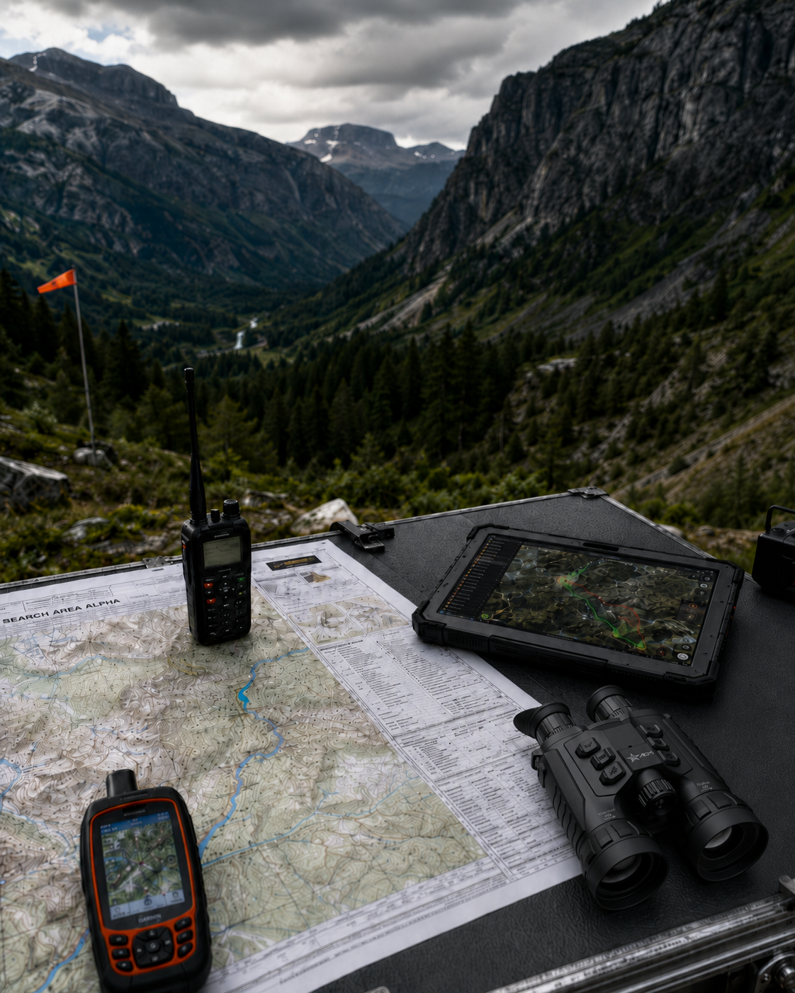
These conceptual views are not presented as completed software. They show how SARNexus is being designed to connect command, field operations, reporting, and historical mission records.
A planned dashboard view is designed to collect incident identity, operational period, leadership assignments, weather, responder totals, warnings, priority messages, requested resources, and map context in one place.
SARNexus is being designed to provide incident-specific weather and environmental information directly within the operational dashboard. This conceptual view is intended to link future weather widgets to the active incident location so command personnel can review current and forecasted environmental conditions without leaving the incident dashboard.
Current conditions: mixed precipitation, lowering cloud deck, terrain-channeling winds.
Fictional sample data. Future integrations may include weather alerts, water data, avalanche information, and other location-based environmental sources.
LZ caution: gusting terrain-channeling winds.
Sunrise 6:08 AM · Sunset 8:47 PM · Civil twilight 9:18 PM
Operational-period forecast: falling overnight temperatures, visibility changes, storm timing risk, and recent/forecast precipitation affecting trail conditions.
Responder risk: hypothermia, heat exposure during approach, hydration and rehab needs, aviation wind awareness, landing-zone gust review, swiftwater/flood concerns, elevation-related weather differences, fire-weather watch review, air-quality check, nearby lightning activity, and avalanche/stream information where applicable.
Coordinates: 39.7421, -105.5128
Responder accountability concepts include searchable rosters, qualifications, ETA, check-in status, destination, current role, team assignment, and filters that help command understand who is available, responding, deployed, or released.
SARNexus will help command assemble hasty teams, field teams, K9, drone, medical, swiftwater, ATV/UTV, and specialty teams with leader selection, assignment briefing, radio channel, welfare checks, required equipment, and qualification-gap awareness.
The platform is being developed to support map-centered operations, assignment layers, team tracks, clues, hazards, evacuation routes, landing zones, subject location, and future CalTopo interoperability without implying any official partnership.
Track upload: GPX / KML / GeoJSON controls planned.
Planned resource views will help teams see requests, approvals, ETAs, assigned locations, release status, agency representatives, mutual-aid support, aviation, EMS, fire, public works, Forest Service, State Parks, and neighboring SAR placeholders.
Future documentation support is intended to organize command logs, operations notes, safety entries, communications, resource requests, attachments, map PDFs, clue photos, and common ICS form drafting without implying government endorsement.
14:39 / OperationsHasty Team 1 assigned to drainage search.
14:31 / PlanningSubject photograph attached for briefing package.
14:18 / SafetySnow showers expected after 1800.
14:05 / ResourcesAdditional radios requested for mutual-aid team.
Attendance concepts include callout participation, member history, response credit, check-in and check-out times, mission hours, meetings, trainings, annual participation percentage, secretary review, reconciliation status, and export concepts.
SARNexus is being developed to connect incident creation, personnel accountability, team deployment, mapping, agencies, documentation, files, ICS support, attendance, and mission history.
Rapid incident creation, local callout numbering, agency/CAD incident number, incident type, mission priority.
Operational periods, command assignments, incident objectives, subject status, ICP and staging locations.
Command transfers, incident chronology, demobilization status, and a single operational record.
Roster management, member numbers, availability, ETA, check-in, deployment, release, and total mission time.
Qualifications, medical certifications, specialty assignments, command eligibility, and fatigue/rest awareness.
Responder accountability summaries designed to support command decisions and after-action review.
Hasty, field, medical, K9, drone, swiftwater, dive, ATV/UTV, snowmobile, technical rescue, air, and logistics teams.
Team leader selection, assignment briefings, team status, welfare checks, return, rehabilitation, and demobilization.
Planned qualification-gap warnings before teams are marked ready for field deployment.
Subject profile, photograph, clothing, footwear, medical conditions, medications, device information, and intended route.
PLS, LKP, direction of travel, behavioral category, hasty search, confinement, investigation tasks, segments, POA, POD, and clues.
Completed coverage and next operational-period strategy preserved as the incident evolves.
Incident location, multiple coordinate formats, map references, staging, ICP, team locations, assignments, hazards, evacuation routes, and landing zones.
Weather, sunrise and sunset, wind, temperature, precipitation, alerts, avalanche information, and water conditions.
Future CalTopo interoperability and route/track exchange are planned integration concepts, not an announced partnership.
Personnel, vehicles, aircraft, boats, drones, radios, medical equipment, ropes, litters, lighting, generators, shelters, food, water, warming/cooling, and fuel.
Request approvals, ETAs, assignments, availability, release, assisting-agency directory, agency representatives, contact channels, and mutual-aid access.
Incident-specific guest access and agency release history designed for clearer partner coordination.
Command, tactical, air-to-ground, and mutual-aid channels with planned communications-plan support and radio cache assignments.
Hospital information, ambulance location, air-medical coordination, responder rehabilitation, patient movement, and transfer-of-care documentation.
Permission-restricted medical details so sensitive information is handled deliberately.
Automatic timestamps, author attribution, command, operations, planning, logistics, communications, safety, medical, clue, and resource-request logs.
Photographs, maps, GPX, KML, GeoJSON, PDFs, drone imagery, witness documents, clue photographs, briefing documents, manifests, permissions, and revision history.
Planned documentation assistance for common ICS forms, plus callout attendance, participation, volunteer hours, secretary review, approvals, CSV, Excel, PDF, and historical mission repository concepts.
The platform is intended to support responsive phone access, future installable mobile/PWA behavior, cached incident information, assignment viewing, check-in, team-status updates, welfare checks, clue photographs, coordinate recording, field notes, and assignment debriefs.
Offline functionality is planned carefully: queued updates should synchronize when service returns, with conflict handling rather than silent overwriting.
Assignment: Hasty Team 1 · TAC 2
Responders may move between cell coverage, radio-only areas, staging, vehicle access, and field assignments. SARNexus will help keep the key assignment details close without pretending connectivity is always perfect.
Command AIssist™ is the planned operational-intelligence layer within SARNexus. It brings together incident data, personnel readiness, resource status, environmental conditions, communications, and approved agency procedures into one clearer operational picture.
Using that information, Command AIssist can help incident command identify missing details, prepare briefings, develop draft objectives and action plans, evaluate possible team assignments, and suggest how available personnel and resources could be deployed.
Build a common operating picture from disparate inputs and evolving conditions.
Develop plans and options that support commander intent and incident objectives.
Assess capability, operational gaps, and responder welfare.
Reduce documentation burden and preserve continuity throughout the incident.
Make approved operational knowledge easier to find, review, and apply.
Support clear communication across languages, teams, and jurisdictions.
SARNexus is being designed to connect each stage of a mission so command decisions, assignments, attendance, documentation, and after-action context remain linked.
SARNexus is being developed to reduce fragmentation across messages, spreadsheets, handwritten notes, and after-the-fact reconstruction.
One common operating picture
Fewer disconnected spreadsheets and message threads
Clearer assignments and handoffs
Better personnel accountability
Improved resource visibility
More accurate attendance
Easier command transfers
Stronger after-action review
Preserved institutional knowledge
The SARNexus concept is being developed around practical search-and-rescue workflows: incident command, team deployment, responder accountability, medical capability, specialty teams, mutual aid, field communications, search planning, attendance, and mission records.
Public prototype language uses realistic sample workflows only. It does not imply endorsement, approval, or partnership by any agency, association, or government body.
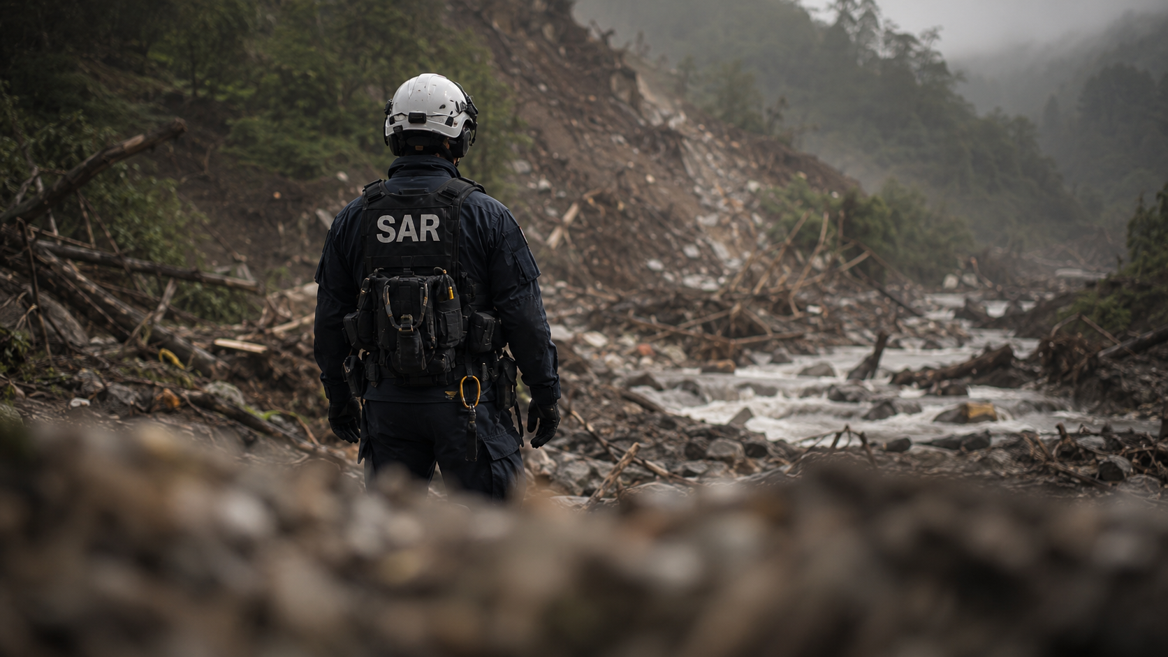
SARNexus is being developed with input from search-and-rescue professionals around the world and informed by consultation, operational experience, and internationally recognized search-and-rescue coordination practices.
The platform’s development is also informed by INSARAG guidance and methodology. INSARAG—the International Search and Rescue Advisory Group—is a global network operating within the United Nations humanitarian coordination system that works to strengthen preparedness, coordination, standards, and cooperation among international urban search-and-rescue teams responding to major disasters.
Reference to INSARAG guidance or methodology does not imply official endorsement, certification, sponsorship, or partnership.
SARNexus welcomes conversations with federal, state, and local agencies, strategic investors, and technology partners interested in paid pilot programs, platform integrations, licensing opportunities, and commercial deployment.
We welcome early interest from SAR teams, incident commanders, agency leaders, field responders, and technology partners who want to learn more or contribute operational insight.
info@sarnexus.com